-

High Affordable Accuracy
CM accuracy at much lower costs than its competitors.
-

Save Time & Money
No need to purchase, set up or maintain your own base station.
-
24/7 Service & Availability
High reliability GNSS corrections.
-

Daily Logging
RINEX data for post processing.
Connect + Measure
HaloRTK is a Continuously Operating Reference Station (CORS) network providing accurate Network RTK positioning services throughout New Zealand. HaloRTK benefits all industries requiring accurate, reliable GNSS positioning. HaloRTK delivers cm-level accuracy anywhere within a networked area, eliminating the need to setup and maintain a temporary base station.
How does it work?
-
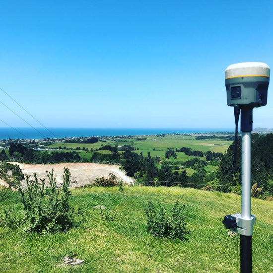
Surveying
HaloRTK delivers high precision positioning and correction information for survey GNSS instruments. Save time and money not requiring to purchase and setup a base station, HaloRTK offers cadastral, topographic, mining and engineering surveyors access to a robust, reliable positioning infrastructure service for all survey tasks.
-
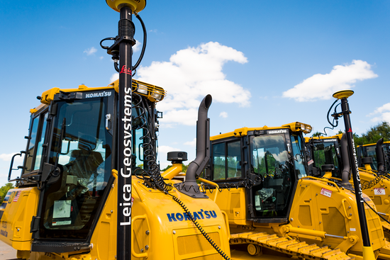
Construction
Get accurate, repeatable positioning information for your machine control enabled earthmoving equipment with HaloRTK. Quickly enabled on all makes and models of machinery for reliable GNSS positioning without the need to setup base stations on site.
-
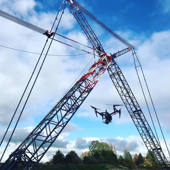
Aerial
By eliminating the need to setup and maintain a personal base station, HaloRTK offers connectivity to your RTK Drone and RINEX files for post processing. Please contact us to discuss your options.
-
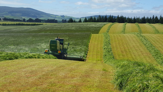
Agriculture
HaloRTK works with all makes and models of precision farming systems to deliver repeatable and consistent positioning information wherever you’re working. Take the 'eyeballing' and experienced guesswork in everything from guiding tractors, to positioning irrigators, to accurately mapping farms.


